
Walk the Tooele Street Directory by Address
Use the address as an organizing key, not as a shortcut to a person. First capture the exact street spelling and house number. Then use EagleWeb to locate the parcel, save the account and legal description, and open the County GIS viewer for the surrounding geometry. The Recorder index can connect that parcel to conveyances, while voter and historical sources answer separate questions about people connected with the place.
- Enter House #, Street Name, and Unit in the Tooele County EagleWeb property search, or begin with a parcel number.
- Open the Tooele County Interactive Map and compare the address point, parcel, municipality, road, and land-use layers.
- Use the Utah election custodian only for your own status or a defined lawful data request, keeping protected fields out of notes.
- Search the Recorder document index by parcel, legal description, grantor, grantee, date, or deed type.
- For a past household, ask the library, Museum, or Archives about dated directories, census pairing, and family collections.
Tooele Street Directory Grid Guide
The City street-name index, revised January 2021, is a general addressing guide. It lists a street, an axis row and column, a grid value or beginning, a number range, a “bends to” range, and an ownership column. Its example for 100 East runs from 1000 N to 400 S and marks the street as city-owned. The guide is useful for decoding a road and its range, but it is not a list of homes or occupants.
The City asks that omissions be reported to Richard Jorgensen at (435) 843-2130. Pair the PDF with county AddressPoints and AddressingGrids rather than treating an axis tick as an address. Research did not locate a verified chronology for street renumbering or renaming, so an old address should be bridged with a plat, legal description, or public notice.
The grid notation is most useful when a source gives only a road and a range. Read the street name, axis value, and “bends to” entry together, then test the result against the county address point. A city-owned road column describes responsibility for the roadway, not ownership of homes along it. If a historic directory uses Main Street, Broadway, or a former number, ask City Community Development or the Recorder about the ordinance, plat, or notice that could explain the change.
Tooele Street Directory Search Fields
EagleWeb’s Basic tab is the main address tool. Its controls are concrete enough to guide a repeatable street directory search, and several entered values are combined as an AND query. The Advanced tab helps when a road name has changed or a parcel sits in a recorded subdivision.
| Control | What it narrows | Research note |
|---|---|---|
| House # | Situs number | Enter the number shown in the property system |
| Street Name | Situs road | The form suggests a trailing asterisk for an entry |
| Unit Number | Unit-level situs | Useful when a parcel has multiple units |
| Owner Name | Indexed owner | Last Name First Name, normal or advanced search |
| Subdivision, Lot, Block, Plat | Legal neighborhood clues | Use when a street search is too broad |
| City / ZIP, value, acreage | Area or parcel range | ZIP narrows mail geography, not municipal limits |
The property card can expose the parcel, account, legal description, mailing and situs fields, values, building facts, transactions, and map links. Save the account number before moving to deeds or permits. The current Assessor contact is (435) 843-3103.
View the official EagleWeb property search fields before choosing a street filter.
Tooele Street Directory GIS Layers
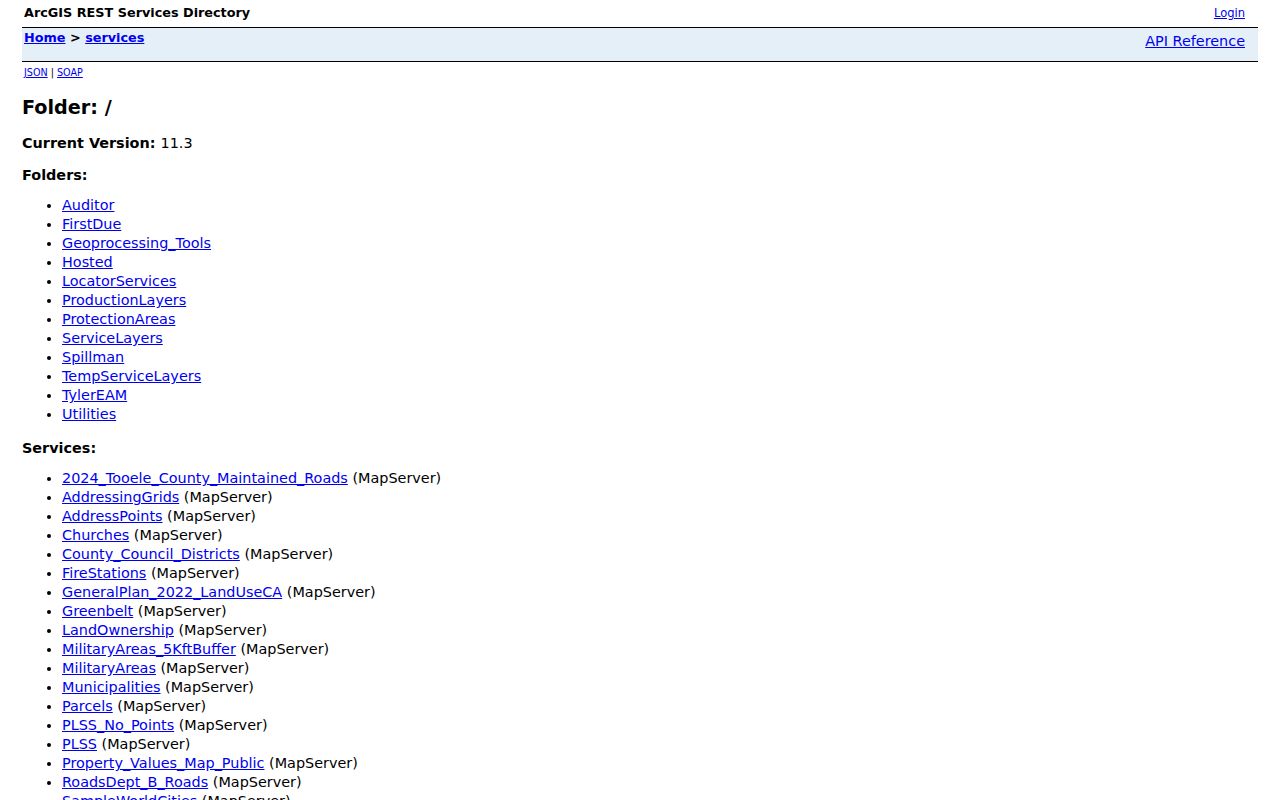
The Tooele County Interactive Map and its REST service directory provide address points, addressing grids, municipalities, maintained roads, land ownership, county council districts, and general-plan land-use layers. A map click can show where a parcel sits in relation to its road or jurisdiction. It cannot show a household roster, and a polygon can lag a recent split, annexation, or boundary-line agreement.
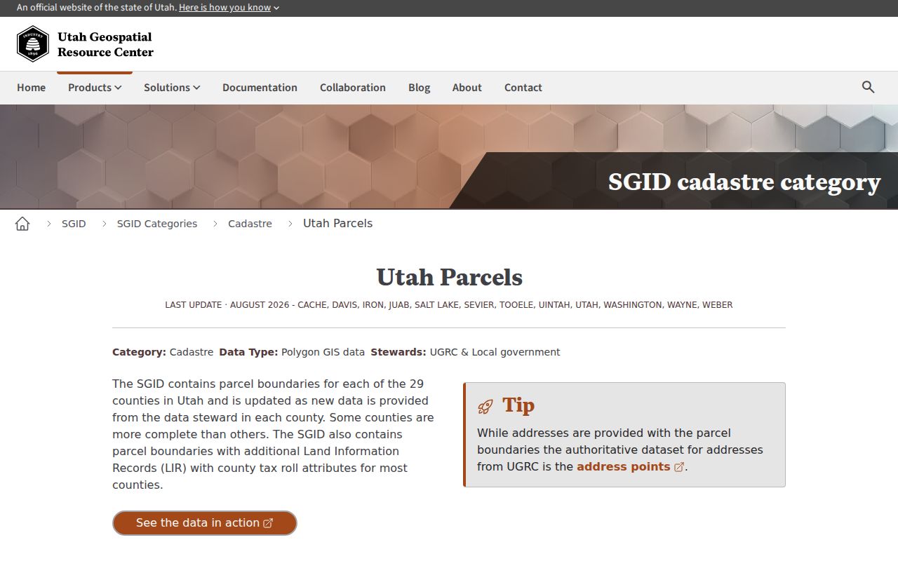
For a street directory workflow, compare the GIS point with EagleWeb’s situs and legal description. If the identifiers differ, look for a related parcel, recorded plat, annexation plat, or boundary-line document. The statewide SGID parcel documentation adds source and update caveats, so record the layer date when a map supports a conclusion.
Open Tooele County’s Interactive Map for parcel and road context.
Tooele Street Directory Permits and Notices
Tooele City’s iWorQ permit portal separates applications made before and after March 29, 2024. A permit or parcel number can route to a view or view-details screen, while contractor access and owner-builder controls apply to restricted workflow steps. The Community Development document center adds building, subdivision, site-plan, appeal, and annexation packets.
Public notices can connect a road or parcel to a civic decision without naming a household. Recent examples include the August 31, 2026 Sensitive Area Overlay hearing around approximately 695 S Main and 598 S Canyon, and an earlier zoning proposal near 1200 W 700 S. Use a notice as dated planning context, then verify the parcel in the current map.
See the Tooele City permit portal for its pre- and post-2024 branches.
Tooele Street Directory Deed History
The Recorder document search accepts parcel, grantor, grantee, document number, recording date, legal phrase, subdivision, lot, block, plat, unit, PLSS, and document type. Relevant types include warranty deed, quit claim deed, trust deed, easement, subdivision plat, annexation plat, boundary-line agreement, probate, decree of divorce, affidavit of survivorship, and water deed. The electronic parcel-linked index begins January 1, 1995.
For earlier material, ask about the historical deed cabinet noted as “Deeds Historical Bk 1-297,” then check Utah State Archives or FamilySearch. EagleWeb image tiers are separate from the free index. A sample recorded warranty deed shows why the document number, type, date, fee, parcel cross-reference, related records, and image status should be copied into notes.
The Recorder search can be narrowed in Basic or Advanced mode. Grantor, grantee, both-names, parcel, recording-date, subdivision, lot, block, plat, unit, PLSS, and legal-description fields help test whether two street references describe the same land. The system lists more than 300 document types, so a deed, easement, plat, annexation plat, boundary-line agreement, probate filing, or water deed should be named in the notes rather than reduced to “property record.”
The public index and a document image are different access steps. EagleWeb lists indexed documents and images from January 1, 1995, while the Recorder is the fallback for earlier material. Image access can require a $5 one-day, $75 monthly, or $750 annual subscription, or an individual cart purchase. For a street question, the free index may be enough to identify the instrument; request or buy an image only when the actual language is needed.
Open the Tooele County Recorder document search for grantor, grantee, and parcel fields.
Tooele Street Directory History Sources
Sanborn sheets and the city historic walk can explain how Main Street, New Town, and Broadway looked in the smelter era. The Library of Congress holds an October 1911 Tooele map in eight sheets, while the city walk refers to 1910 material. Neither edition is a current parcel map. The same caution applies to a directory address: confirm the edition and match the building or legal description before linking it to a modern road.
Older household work belongs on the historical collections page, where FamilySearch’s 1855–1956 Tooele County records and Archives series are described. The street directory should hand off once the question changes from “what is along this road now?” to “who was connected with this address before?”
Read Utah statewide parcel documentation for source and update caveats.
Tooele Records That Work by Address
Several record sets can be keyed to a Tooele address, but they do not carry the same meaning. The property roll is about assessment and indexed ownership. The Recorder index is about instruments. GIS is spatial. Permits and notices show public process. A voter file has its own access rules, and older directories belong with reference institutions.
| Record Set | Keeper | What It Shows | Access |
|---|---|---|---|
| Property / tax roll | County Assessor | Indexed owner, mailing/situs clues, values, buildings | Public EagleWeb |
| GIS parcel map | County GIS | Parcels, points, roads, districts, planning layers | Viewer and REST |
| Deeds and plats | County Recorder | Grantor, grantee, instrument, date, legal description | 1995 index online; older office |
| Voter file | Lt. Governor / Clerk | Lawful public fields and civic districts | Self lookup or request |
| City permits | Community Development | Permit, parcel, plans, application details where releasable | iWorQ branches |
The parcel number is the best bridge between the Assessor card, Recorder documents, GIS layers, and many permit records. A street name alone can change spelling or cover a long range. Keep the exact address, parcel, legal description, record date, and custodian together.
For a multi-unit or corner parcel, compare the unit, situs, and map point before counting it as one household. If a result appears under a business or trust, keep that record type visible in your notes. The street directory is strongest when it shows how the sources relate and where their limits begin.
When the address is incomplete, work from the most stable field available. A subdivision, plat, lot, block, PLSS description, or related-parcel link can narrow a search that a street name cannot. If the question concerns a city permit, use the city’s current Community Development route; if it concerns a recorded transfer, use the Recorder; if it concerns map placement, save the GIS layer and date. That division keeps one address from being treated as a single all-purpose record.
What a Tooele Street Directory Cannot Show
Public address records do not form a complete household list. EagleWeb identifies indexed property relationships, not every occupant. The research found no public utility customer directory, and Utah driver or vehicle records are protected under the federal DPPA and Utah Code §41-1a-180. A voter record may have protected fields or at-risk suppression, while a historical directory can omit households or reflect an old address.
The safest street directory entry is modest: it names the source, describes the parcel or road relationship, and states what the record does not prove. If the question is who else lives on a block, use the neighbors page; if it is who owned the land before, use the prior-residents trail.
Lawful use. Street and parcel research can support family history, civic curiosity, and personal safety awareness. Do not use an address trail to stalk, threaten, dox, intimidate, or harass anyone. Utah Code §76-5-106.5 addresses stalking conduct, and protected data should be left with its custodian.