
Tooele ZIP Codes, Postal Places, and Scope
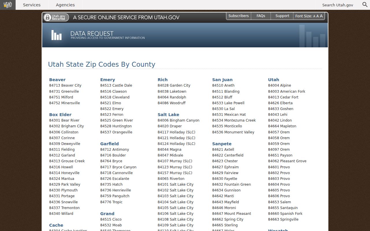
Utah’s official county list separates Tooele City’s primary postal ZIP from the other postal places associated with Tooele County. The distinction keeps a ZIP code directory useful without turning it into a false city boundary map.
| ZIP Code | Areas Covered | Post Office | Notes |
|---|---|---|---|
| 84074 | Tooele | Tooele postal place | Primary Tooele City ZIP; verify address |
| 84029 | Grantsville | Grantsville postal place | County-associated, not Tooele City |
| 84071 | Stockton | Stockton postal place | County-associated, not Tooele City |
| 84022 | Dugway | Dugway postal place | Rural county association |
| 84034 | Ibapah | Ibapah postal place | Rural county association |
| 84069 | Rush Valley | Rush Valley postal place | Rural county association |
| 84080 | Vernon | Vernon postal place | Rural county association |
| 84083 | Wendover | Wendover postal place | County-associated, not Tooele City |
The list does not say that every address using a Tooele County ZIP lies inside the city. ZIPs serve mail routes and postal places. The research did not verify a local ZIP-only or unique-institution ZIP, and no local realignment history was found, so those claims should not be added.
That countywide view is useful for sorting research requests. Keep 84074 attached to Tooele City only when the full mailing address confirms it. A record from Grantsville, Stockton, Vernon, or another postal place should retain its own place name, even when the county custodian is the same.
The seven other entries serve distinct county-associated places: 84029 is Grantsville, 84071 is Stockton, 84080 is Vernon, and 84083 is Wendover. The rural entries are 84022 Dugway, 84034 Ibapah, and 84069 Rush Valley. Listing them together is helpful for a county records desk, but it is not evidence that those communities are neighborhoods of Tooele City. Keep the postal place beside the code whenever a request crosses county lines or office boundaries.
Tooele ZIP Code Directory USPS Check
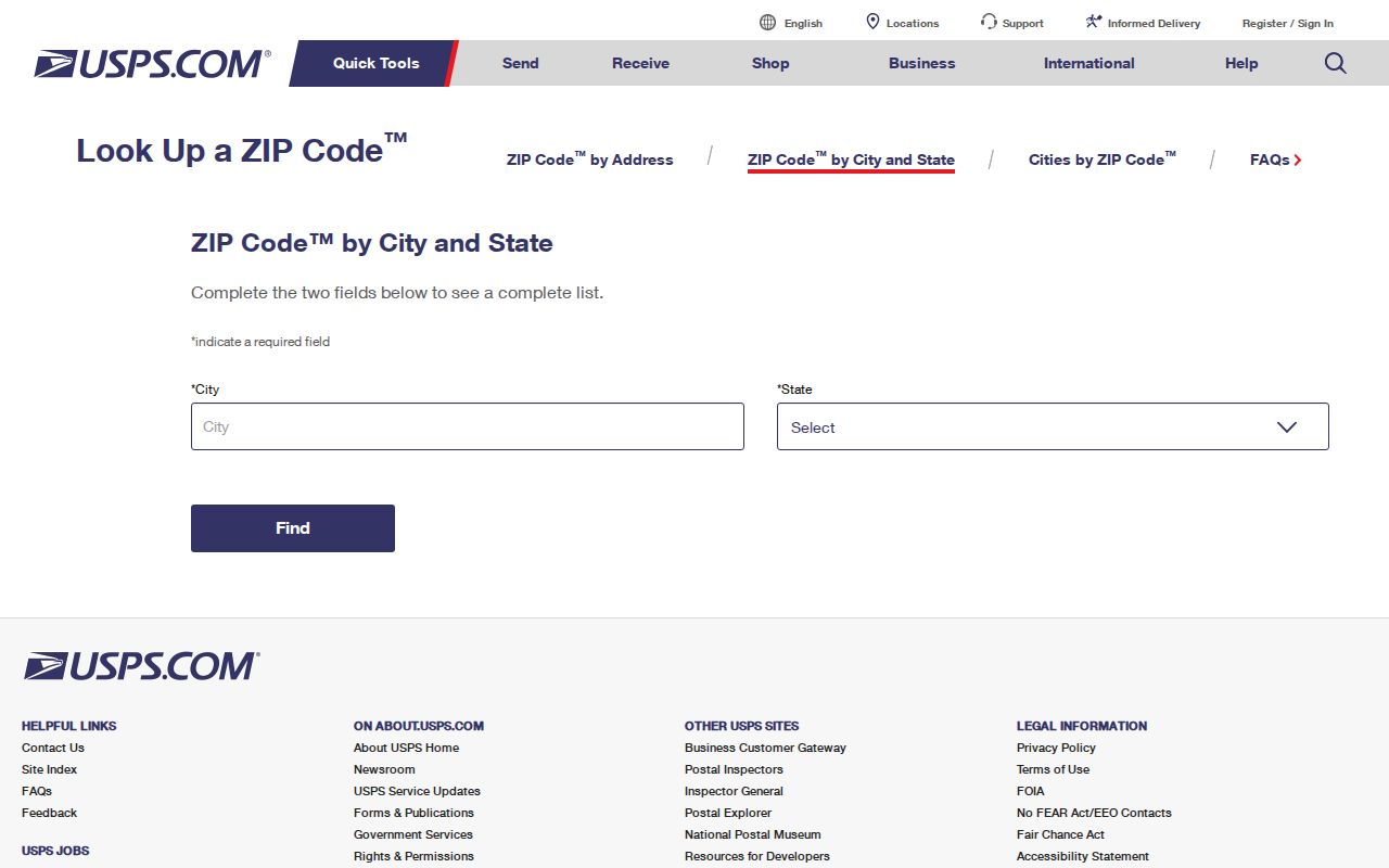
Use the official USPS City and State lookup when the question is whether a street address belongs to a postal place or which ZIP should be written on mail. The research did not capture a live result for a particular Tooele address, so the form is the right route rather than a guessed ZIP. Keep postal verification separate from a parcel search.
Open USPS City and State lookup before relying on a mailing ZIP.
Tooele ZIP Code Directory EagleWeb Filters
The Tooele County EagleWeb Advanced property search includes City/Zip alongside owner, situs, subdivision, parcel classification, value, and acreage controls. A ZIP filter can reduce the parcel set, but the result remains an assessment record. Compare its situs with the county GIS map and do not infer an occupant from an owner or mailing field.
| Portal control | ZIP-directory use | Limit |
|---|---|---|
| City / Zip | Narrow property results | Postal geography, not city law |
| House # / Street Name | Move from ZIP to address | Use exact situs spelling |
| Parcel Number | Carry a stable record key | Parcel does not equal household |
| Owner Name | Check indexed ownership | Owner is not occupant proof |
Use the EagleWeb property search when a ZIP needs a parcel-level check.
Tooele ZIP Code Directory ZCTA Boundaries
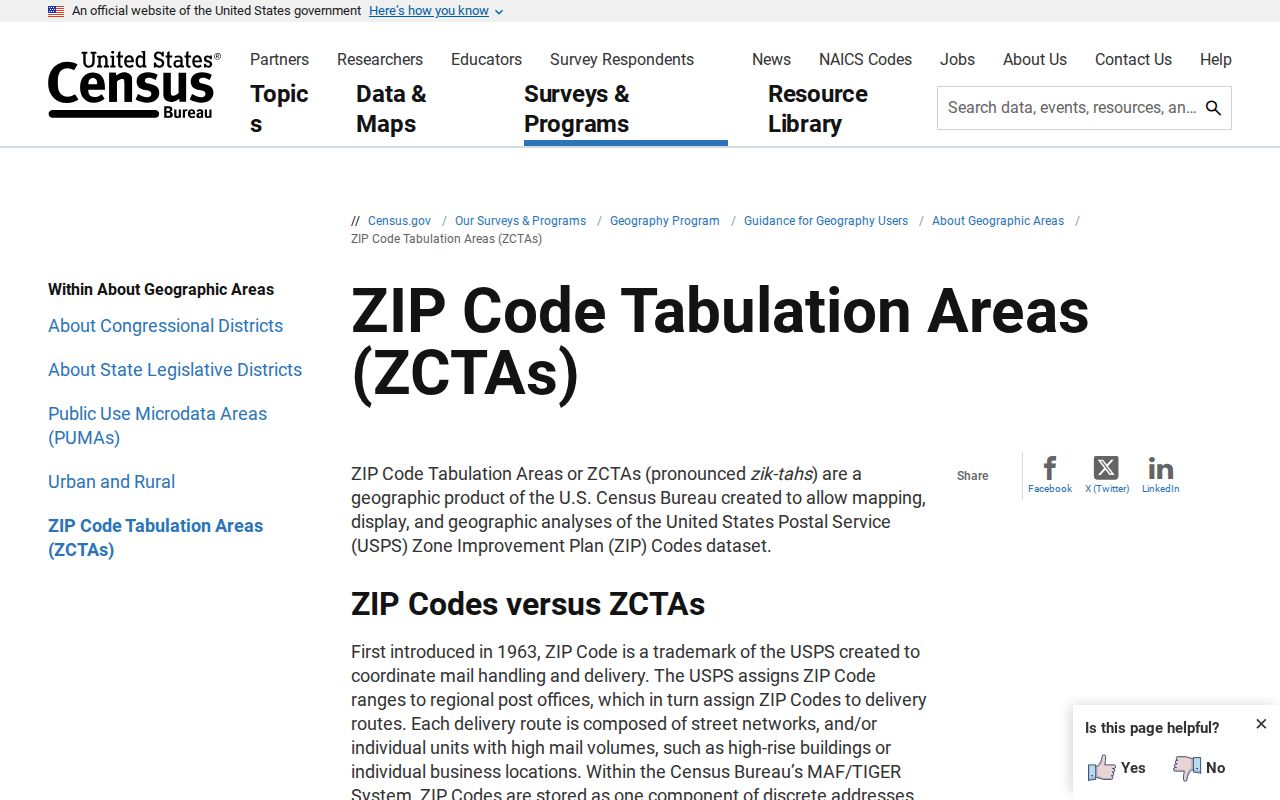
Utah GIS says ZIP boundary layers are approximate and draw on local data, USPS AIS, and older TIGER sources. Census ZCTAs are statistical approximations that may be noncontiguous or represent one institution or a PO-box-only area. A ZCTA is not an individual address. Use it for aggregate geography, never as a personal identity field.
Read Utah GIS ZIP boundary guidance for the map caveats.
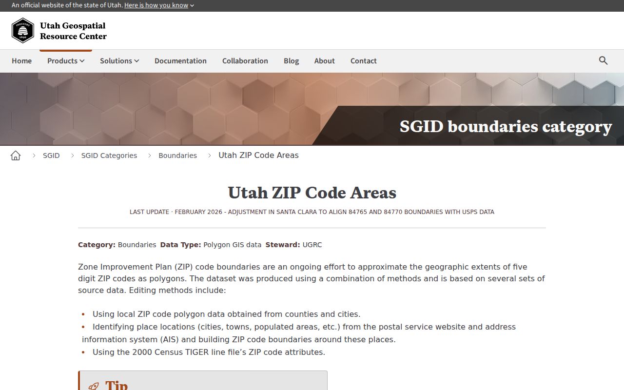
Use this map guidance for area context, then check the statistical definition before comparing a ZIP with population or household data.
Utah GIS describes its ZIP layer as an approximate boundary product built from local data, USPS AIS, and older TIGER material. Census ZCTAs serve a different purpose: they are statistical areas made from tabulation blocks and can be noncontiguous, represent one institution, or cover a PO-box-only area. Neither layer can answer whether one street address receives mail today. That answer belongs to USPS and should be saved with the date checked.
Review Census ZCTA guidance before using ZIP geography for aggregate context.
Tooele ZIP Code Directory Person Search
A ZIP code directory search should move from broad postal geography to a defined record. Begin with 84074 only when the address is known to use it. Check USPS, then EagleWeb or the County GIS map for the street and parcel. If the goal is a current voter record, use the Utah self-status route or ask the County Clerk about a lawful file request. For a name and case, use Xchange rather than assuming every name in a ZIP belongs to one city.
When a parcel is vacant, has no clear situs, or carries a mailing address outside the parcel’s municipality, pause before assigning it to a city. EagleWeb may still return a legal description, owner field, acreage, classification, and related parcel. The County GIS municipality and AddressPoints layers add place context, while USPS remains the authority for the mailing line. These checks are useful for sorting a record request, not for building a person list.
- Verify the ZIP and postal place with USPS.
- Use EagleWeb City/Zip or situs controls to narrow parcels.
- Compare the parcel with GIS municipality and road layers.
- Move to the Tooele street directory once one street is known.
Finding Residents by ZIP Code, Carefully
The ZIP code directory is a sorting aid. EagleWeb can narrow parcels, the GIS viewer can show geographic layers, and a formal voter-data request may include residential address and ZIP-related geography subject to Utah privacy rules. The public voter status route is for the user’s own record, not an external search.
- Confirm the postal place and ZIP with USPS.
- Filter EagleWeb by City/Zip, then save the parcel and situs fields.
- Use GIS municipality, address point, and road layers for place context.
- Ask the election custodian about a defined data request, remembering that at-risk records are withheld.
Once the ZIP narrows the search to one street, use the Tooele street directory for the address-level workflow. Do not treat the ZIP code directory as a substitute for the parcel, court, voter, or historical custodian.
For aggregate questions, Census QuickFacts supplies city context such as a 2025 estimate of 42,270 people and a 2020 count of 35,742, but those figures are not a ZIP roster. Keep population estimates, postal areas, and person-level records in separate notes.
The same separation applies to voter and court work. The County Clerk’s election archive can provide dated contest results and precinct statistics, while Utah Courts Xchange searches cases by court and county. Neither system turns a ZIP into a list of residents. Carry the postal code only as a location clue, then use the record custodian and access rule that fit the actual question.
Tooele ZIP Code Directory and City Limits
Postal places, county associations, municipal boundaries, GIS polygons, and Census statistical areas are separate systems. A Tooele County ZIP can serve a rural place, and the postal label on a letter does not decide which city department holds a permit or which court has a case. Use the county GIS municipality layer or the relevant office when jurisdiction matters.
- ZIP vs ZIP+4
- A five-digit postal area differs from the four-digit delivery extension added to a specific address range.
- PO-box ZIP
- A postal assignment used for boxes rather than a normal street-delivery area.
- Unique ZIP
- A ZIP assigned to one institution or narrow mail destination, where the postal authority defines it.
- Carrier route
- A delivery path inside postal operations, not a municipal neighborhood boundary.
When a result crosses systems, cite the system that answers the question. USPS controls delivery assignment. Utah GIS describes an approximate ZIP area. Census describes a ZCTA for statistics. EagleWeb supplies parcel context, and Tooele City or Tooele County supplies the municipal record route. That simple division prevents a postal label from being used as a claim about a person, a court, or a city service.
For research notes, write the postal place beside the five-digit code and keep the source link. If a parcel search returns a mailing address different from its situs, preserve both fields. That small habit makes a ZIP code directory useful for sorting without overstating what the record says.
Use the county ZIP list as a starting index only. It is not a substitute for a live USPS result, a municipal boundary layer, or a custodian’s rules. When a request concerns a person, move from postal geography to the appropriate official record and keep the ZIP as context.
No official ZIP split, realignment year, or city-line exception list was located for Tooele. If an older address seems to use a different code, compare the dated mail source with the street index, parcel legal description, and municipal layer, then ask USPS or the appropriate city or county office to confirm the change.
Postal rule. A ZIP code is a delivery aid. For identity, occupancy, or jurisdiction, use the source built for that question and verify its current date.